We have read a considerable pile of articles on right ascension and declination, and they all make the same three mistakes. The first mistake is to open with the latitude-longitude analogy and never say when it stops being true. The second is to give the numbers without ever giving a real star. The third is to describe the system without saying which century of sky it belongs to. This piece corrects those three, specifically.
Right ascension and declination are the two numbers a chartmaker writes next to every star before drawing it. Declination is measured in degrees north or south of the celestial equator, exactly the way latitude is measured on Earth. Right ascension is measured eastward from a single point on the sky called the vernal equinox, and it is measured in hours, minutes and seconds — not degrees. That last detail is where most explanations quietly betray the reader.
What They All Get Wrong
The universal error is the same in every explainer. Right ascension is introduced as "the sky's longitude" and then quietly quantified in hours, without pausing to explain why the sky uses a clock and the Earth does not. A reader who has just been told the analogy is one-to-one now has to hold two units in their head — degrees for declination, hours for right ascension — and no one tells them why.
The reason is that the sky rotates once approximately every twenty-four hours, and astronomers measured east-west positions using the same clock that measured everything else. One hour of right ascension therefore equals fifteen degrees of arc along the celestial equator. Six hours equals ninety degrees. Twenty-four hours brings you back to zero. Sirius sits at a right ascension of 6.75248 hours — call it six hours and forty-five minutes — which is a little over one hundred and one degrees east of the vernal equinox, whichever unit you prefer. Canopus is at 6.39919 hours, just twenty-one minutes of right ascension west of Sirius, or roughly five and a quarter degrees. These are the two brightest stars in the sky and they sit almost on the same meridian. Any decent article should have said that.
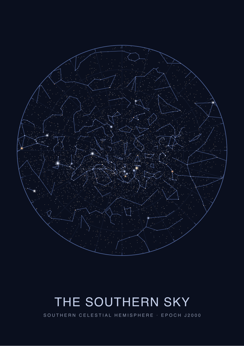
The second shared error is subtler. Explainers hand the reader coordinates but never a sky. They say "declination is like latitude" and then never tell you what declination the reader's own head is pointed at. If you are standing in Rio de Janeiro, the point directly overhead has a declination of about minus twenty-three degrees. If you are standing in London, it is about plus fifty-one. Everything with a declination inside a window of roughly plus or minus your local latitude rises high; everything outside grazes the horizon or never rises at all. Rigil Kentaurus, at declination minus 60.83398, is a permanent southern star: a Londoner cannot see it, a Cape Town resident can barely miss it.
The third error is the smallest and the most common. Articles state right ascension and declination as if they were fixed forever. They are not. The vernal equinox from which right ascension is measured drifts about fifty seconds of arc a year against the stars, which is why every catalogued position quietly carries an epoch — the standard is J2000.0. Vega's right ascension of 18.61564 hours is Vega's right ascension in the sky of the year two thousand. In the sky of the year three thousand it will be slightly different, and any chart that ignores this eventually lies to its reader.
What Is Almost Always Missing
Nearly every explainer covers what right ascension and declination are. Almost none covers what a person is supposed to do with them.
The first missing piece is the practical translation between a coordinate and a direction to point in. A star's declination tells you how far above or below the celestial equator it is; its right ascension tells you where along the east-west band it is relative to the vernal equinox. But the sky the reader will actually see tonight depends on two things the coordinates alone do not encode: the observer's latitude, and the local sidereal time — which slice of right ascension is presently crossing the meridian overhead. Without those two extras, a right ascension of 18.61564 hours is a number on a page, not a location Vega occupies at nine in the evening.
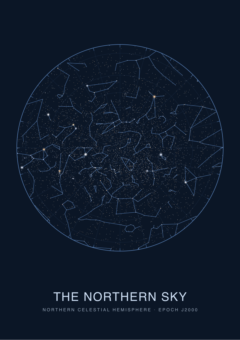
The second missing piece is the shape of the sky the coordinates describe. Because declination is measured from the celestial equator, the coordinate grid is densest at the equator and pinches to a point at the celestial poles. Capella at declination plus 45.99799 and Vega at plus 38.78369 are seven degrees apart in declination — a straightforward arc. But one hour of right ascension near either pole is a much shorter arc than one hour of right ascension at the equator, because the coordinate lines are converging. Any competent explainer should have said this. Almost none does.
The third missing piece is the historical texture. Right ascension is measured from a point defined by the crossing of two great circles — the celestial equator and the ecliptic. That crossing is not a physical object. It is a geometric event that occurs at a specific moment of the year, and it drifts because Earth's rotational axis wobbles on a roughly twenty-six-thousand-year cycle. Hipparchus noticed the drift in the second century before the common era, working from Babylonian records. The decision to peg all modern catalogues to the sky as it stood on January 1, 2000, was not arbitrary; it was the compromise a global community made to stop redrawing every chart every decade. That story is worth ninety seconds of an article's time, and it never gets them.
What I Would Say Instead
If we were writing the explainer we wished existed, it would open with a single star and a single number and stay there until the reader could see the sky through them.
Arcturus, in the constellation Boötes, has a right ascension of 14.26103 hours and a declination of plus 19.18241 degrees. Those two numbers are enough to draw it on any celestial chart in the world without further reference. The declination says: nineteen degrees north of the celestial equator, which is the projection of Earth's equator onto the sky. The right ascension says: fourteen and a quarter hours east of the vernal equinox, which is one specific point on the celestial equator — the point the Sun occupies on the first day of northern spring. Multiply 14.26103 by fifteen and you get about 213.9 degrees, which is the same measurement in the same units declination uses. Astronomers keep hours because sidereal time is measured in hours; the sky turns fifteen degrees an hour and it is easier to plan a night's observing in clock units than compass units.
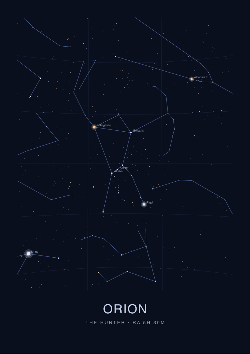
From that anchor, everything else clicks. Vega, at right ascension 18.61564 and declination plus 38.78369, is more than four hours east of Arcturus and about twenty degrees further north. If Arcturus is crossing your meridian at midnight, Vega will cross it roughly four and a half hours later — which, for a summer observer in the northern hemisphere, is roughly what happens. Sirius, at declination minus 16.71612, is below the celestial equator by nearly the same amount Arcturus sits above it, and its right ascension of 6.75248 puts it about seven and a half hours west of Arcturus. Six hours of right ascension is a quarter of the whole sky. If two stars are exactly six hours apart in right ascension and one is on your meridian, the other is on your horizon.
The declination number is the more forgiving of the two, because it does not need a clock. Capella at plus 45.99799 is high for anyone in the northern hemisphere and never rises for anyone within roughly forty-four degrees of the south celestial pole. Rigil Kentaurus at minus 60.83398 is its mirror: high for southern observers, invisible for most northern ones. Canopus at minus 52.69566 is nearly as far south, which is why northern hemisphere readers of Homer had never seen the second-brightest star in the sky before commercial aviation existed.
The reader can now do two useful things they could not do at the start of this piece. They can look at any published star catalogue and read its two-column position field as a physical direction rather than as a code. And they can pick up a chart printed for their own latitude and know what the coordinate grid on it is doing. This piece does not cover how to compute local sidereal time by hand — that is a separate essay and involves longitude and the date. It does not cover the difference between mean and apparent coordinates, which is the correction astronomers apply for atmospheric refraction and for the drift of the equinox between catalogue epoch and observation night. And it does not cover the alt-azimuth system, the sky-as-seen coordinates a telescope actually uses once the sky coordinates have been translated for a specific place and moment. Each of those is a separate argument, and each deserves its own room.
FAQ
Why is right ascension measured in hours instead of degrees?
Because the sky rotates once approximately every twenty-four hours, astronomers adopted the same unit their clock already used. One hour of right ascension equals fifteen degrees along the celestial equator, and the whole sky closes at twenty-four hours. Planning an observing night in hours is easier than converting sidereal time to degrees at every step. The convention is old, it works, and no modern committee has yet seen a reason to change it.
What does the "J2000.0" attached to a star's coordinates mean?
It is the epoch of the reference frame. Because the vernal equinox drifts about fifty seconds of arc a year against the background stars, right ascension and declination values slowly change even for a star that is not moving through space. J2000.0 fixes the coordinate grid to where it stood at noon on January 1, 2000. Every modern catalogue quotes positions in this frame, and every accurate chart carries the label somewhere in the margin.
How do I turn a right ascension and declination into a direction to look?
You need two extra numbers: your latitude, and the local sidereal time. Latitude fixes where the celestial equator sits in your sky. Sidereal time tells you which value of right ascension is presently crossing your meridian. Any star with a right ascension near that value is on the meridian; any star with declination near your latitude is near your zenith. Planetarium software does the arithmetic for you, but the principle is that simple.
Can I see every star from anywhere on Earth?
No. Your latitude sets a circle of invisibility around one of the celestial poles. From London at fifty-one degrees north, no star south of about declination minus thirty-nine ever rises above the horizon. Rigil Kentaurus, at declination minus 60.83398, is permanently out of reach. From southern Argentina the reverse holds: northern stars like Capella at plus 45.99799 never clear the horizon. The globe hides half of itself from you at any single site.
Why does the coordinate grid pinch at the poles?
Because right ascension is measured as a full circle running parallel to the celestial equator. As you move toward either pole, the physical arc covered by one hour of right ascension shrinks — same angular value, shorter distance. At the pole itself, all twenty-four hours of right ascension meet at a single point. This is the same reason lines of longitude on Earth meet at the geographic poles. Charts drawn near the celestial poles show the compression clearly.
Do the coordinates change if a star moves through space?
Yes, slowly. Stars have proper motion — real drift across the sky measured in fractions of a second of arc per year for most, more for a few nearby ones. Arcturus has one of the larger proper motions among bright stars, and its J2000.0 position is already slightly off its 2026 position. Precision catalogues list proper motion alongside the coordinates. For casual charting the drift is invisible; for astrometry across decades it matters, and every serious catalogue quotes it.
Is this the same coordinate system a telescope uses?
No, and this is a common confusion. Right ascension and declination are sky-fixed: they describe where a star sits relative to the other stars. A telescope on a mount is Earth-fixed and points along altitude (up from the horizon) and azimuth (around from north). Software or a well-aligned equatorial mount handles the conversion between the two, using your latitude, longitude and the current sidereal time. The star has one set of coordinates; the telescope reading has another.
From the collection
New charts and 10% off your first print.
One email now with your code. No noise after.